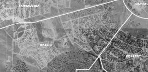
 ACTmapi, which is the ACT Government’s interactive mapping service that provides the capacity to analyse ACT spatial data, has released 1955 aerial photos. It can be overlaid with cadastral information and a number of base maps. If you go to the link you can zoom in houses trees and parks as they were then.
16
May /
2018